The Role of Photogrammetry in Civil Engineering

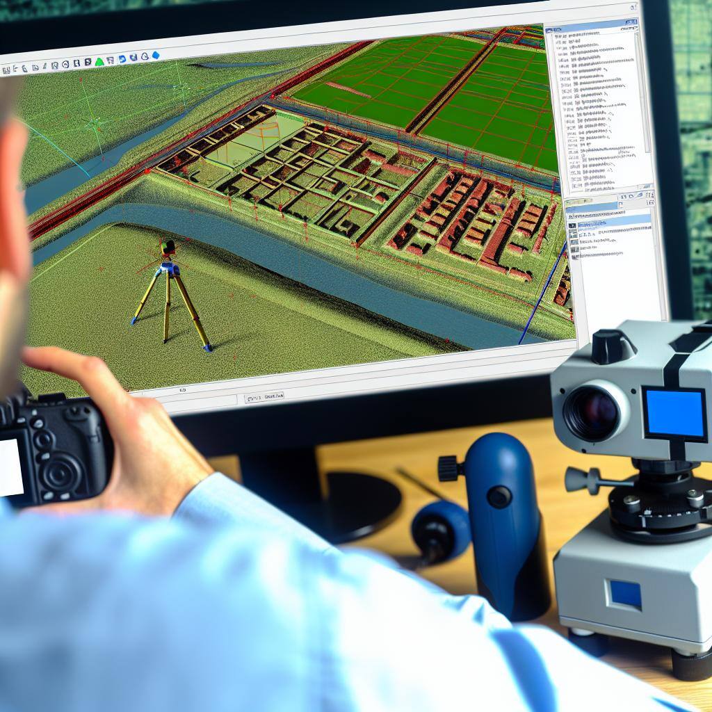
Photogrammetry is a fundamental tool for the success of civil engineering projects. By harnessing the power of photography and advanced software algorithms, photogrammetry allows engineers to create detailed 3D models and maps of project sites without the need for physical contact with the structures being measured.
In addition, the precise measurements obtained through photogrammetry enable engineers to make informed decisions, improve project planning, and enhance overall project outcomes.
The Basics of Photogrammetry in Civil Engineering
Photogrammetry is a technique used in civil engineering to obtain accurate measurements and data from photographs. It involves analyzing and interpreting the geometric properties of images to create 3D models or maps of a specific area or object. This process is achieved by using specialized software that analyzes the overlapping images and calculates the position, size, and shape of objects in the photographs.
One of the main advantages of photogrammetry is its non-invasive nature, as it does not require physical contact with the objects being measured. This makes it ideal for surveying large areas or inaccessible locations. Additionally, photogrammetry can provide highly detailed and accurate data, making it a valuable tool in civil engineering projects.
Challenges and Solutions for Ensuring Accuracy
While photogrammetry offers many benefits, there are also challenges that need to be addressed to ensure accuracy in civil engineering projects. One of the main challenges is the need for precise camera calibration and image acquisition. The cameras used in photogrammetry must be calibrated to accurately capture the geometry of the scene and minimize distortions. In addition, the images must be captured from multiple angles and positions to ensure complete coverage and accurate measurements.
Another challenge is the presence of environmental factors that can affect the accuracy of photogrammetric measurements. Factors such as lighting conditions, atmospheric disturbances, and occlusions can introduce errors in the data. To overcome these challenges, advanced algorithms and techniques are used to correct for distortions and improve the accuracy of the photogrammetric results.
Furthermore, accurate ground control points (GCPs) are essential for achieving high accuracy in photogrammetry. GCPs are known points with known coordinates that are used as reference points in the photogrammetric model. These points are typically obtained through traditional surveying methods and are used to align and scale the photogrammetric model with real-world coordinates. By ensuring the accuracy of the GCPs, the overall accuracy of the photogrammetric measurements can be improved.
Benefits of Accurate Photogrammetry in Civil Engineering
Accurate photogrammetry plays a crucial role in civil engineering projects for several reasons. Firstly, it allows engineers to obtain precise measurements and data without the need for physical contact with the objects being measured. This not only saves time and resources but also reduces the risk of damage to sensitive structures or environments.
Secondly, accurate photogrammetry enables engineers to create detailed 3D models and maps of the project site. These models provide valuable insights into the existing conditions, allowing for better planning, design, and analysis of the project. They can also be used for visualizations, simulations, and virtual reality experiences, enhancing communication and collaboration among project stakeholders.
Moreover, accurate photogrammetry can improve the accuracy of measurements and calculations in civil engineering projects. By using advanced algorithms and techniques, photogrammetry can minimize errors and uncertainties, leading to more reliable results. This is particularly important in projects that require precise measurements, such as land surveying, structural analysis, and volumetric calculations.
Overall, the benefits of accurate photogrammetry in civil engineering include improved efficiency, better decision-making, and enhanced project outcomes.
Future Trends in Photogrammetry for Civil Engineering
As technology continues to advance, the future of photogrammetry in civil engineering looks promising. One of the emerging trends is the use of unmanned aerial vehicles (UAVs) or drones for capturing images and conducting photogrammetric surveys. Drones offer the advantage of accessibility to remote or hazardous areas, allowing for more comprehensive data collection and analysis.
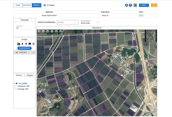
Another trend is the integration of photogrammetry with other technologies, such as LiDAR (Light Detection and Ranging) and artificial intelligence (AI). LiDAR can provide highly accurate 3D measurements of objects and surfaces, complementing the photogrammetric data. AI algorithms can be used to automate the object detection, photogrammetric processing and land cover segmentation process, reducing the manual effort and improving efficiency.
Furthermore, advancements in software and algorithms are expected to enhance the accuracy and speed of photogrammetric measurements. For example, machine learning and cloud-based solutions will facilitate data sharing and collaboration among project stakeholders, further improving project efficiency and outcomes.
Overall, the future of photogrammetry in civil engineering holds great potential for improving accuracy, efficiency, and innovation in the industry.


