Analyzing Remote Sensing Imagery: The Role of False Coloring in Interpretation

Explore the significance of false coloring in remote sensing imagery analysis and how it aids in interpretation.
The Concept of False Coloring
False coloring is a technique used to enhance the interpretation of remote sensing imagery. It involves assigning artificial colors to different bands of the electromagnetic spectrum captured by the satellite sensors.
In remote sensing, different bands of the electromagnetic spectrum represent different types of information about the Earth's surface. However, these bands are usually not visible to the human eye. By assigning colors to these bands, false coloring creates a visual representation that is easier for humans to interpret.
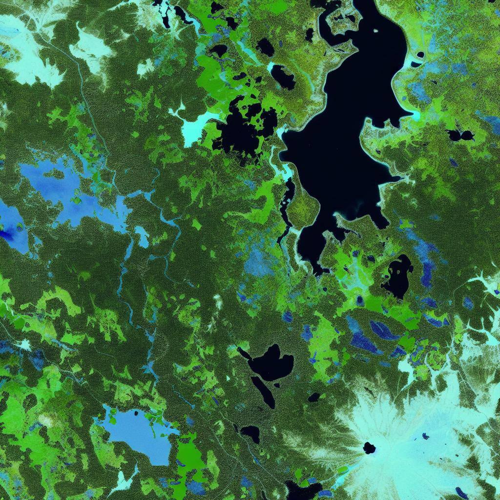
For example, in a false-colored image, vegetation may appear as shades of green, while water bodies may appear as shades of blue. This color enhancement helps in distinguishing and analyzing different features and phenomena present in the imagery.
The concept of false coloring plays a crucial role in remote sensing imagery analysis, as it enables researchers to extract valuable information and identify patterns that may not be easily visible in raw imagery.
Applications of False Coloring in Remote Sensing
False coloring has various applications in remote sensing, including:
- Land Cover Classification: False coloring helps in classifying different land cover types, such as forests, agriculture, urban areas, and water bodies, based on their distinct colors.
- Vegetation Analysis: False coloring aids in analyzing vegetation health, density, and distribution, which is crucial for monitoring ecosystems, studying changes in forests, and assessing crop conditions.
- Geological Mapping: False coloring can be used to identify and map geological features, such as rock formations, mineral deposits, and geological hazards.
- Environmental Monitoring: False coloring enables the monitoring of environmental phenomena, including the detection of pollution, tracking of wildfires, and assessment of coastal erosion.
These applications demonstrate the versatility and usefulness of false coloring in various remote sensing domains.
InSar and False Coloring
Interferometric Synthetic Aperture Radar (InSAR) is a technique used in remote sensing to measure ground deformation with very high precision. It works by comparing two or more radar images of the same area taken at different times. By analyzing the differences in phase between these images, InSAR can detect tiny changes in the surface of the Earth, such as subsidence or uplift.
By assigning different colors to areas experiencing subsidence or uplift, InSAR false coloring helps in visualizing and analyzing the magnitude and spatial distribution of these surface deformations. InSAR combined with false coloring provides valuable insights into the Earth's surface dynamics and is widely used in geology, environmental monitoring, and infrastructure management.
For example, in an InSAR image, areas experiencing subsidence might be colored in shades of blue, while areas experiencing uplift might be colored in shades of red. This false color representation makes it easier for researchers and analysts to identify and interpret deformation patterns.
PolSAR and False Coloring
Polarimetric Synthetic Aperture Radar (PolSAR) is a remote sensing technique that measures the polarization properties of radar signals reflected from the Earth's surface. False coloring is commonly employed in PolSAR imagery to enhance the interpretation of polarimetric information.
By assigning different colors to the polarimetric channels, false coloring helps in visualizing and analyzing the scattering mechanisms and characteristics of different land cover types. This information is valuable for land classification, terrain mapping, and environmental monitoring.
PolSAR combined with false coloring enables advanced analysis of radar data and provides valuable insights into the Earth's surface composition and structure.
LiDAR Photograph and False Coloring
Light Detection and Ranging (LiDAR) is a remote sensing technique that uses laser pulses to measure distances and generate detailed 3D representations of the Earth's surface. False coloring is often applied to LiDAR photographs to enhance the visualization and interpretation of the acquired point cloud data.
By assigning colors based on elevation or intensity values, false coloring helps in distinguishing different objects and terrain features, such as buildings, vegetation, and terrain slopes. This information is crucial for applications like urban planning, forestry management, and flood modeling.
LiDAR photographs combined with false coloring provide a wealth of information for detailed terrain analysis and accurate mapping.
NIR Imaging and False coloring
Near-Infrared (NIR) imaging is a remote sensing technique that captures electromagnetic radiation in the near-infrared portion of the spectrum. False coloring is often used in NIR imagery to enhance the interpretation of vegetation health and other land cover properties.
By assigning colors to different NIR reflectance values, false coloring helps in visualizing and analyzing vegetation density, health, and stress. This information is crucial for monitoring crop conditions, assessing forest health, and studying ecosystem dynamics.
NIR imaging combined with false coloring provides valuable insights into the photosynthetic activity and overall health of vegetation.
Hyperspectral Imaging and False Coloring
Hyperspectral imaging is a remote sensing technique that captures images in hundreds of narrow, contiguous spectral bands. False coloring is often applied to hyperspectral imagery to enhance the interpretation and analysis of the acquired data.
By assigning colors to specific spectral bands, false coloring helps in visualizing and analyzing the unique spectral signatures of different materials and land cover types. This information is valuable for applications like mineral exploration, crop monitoring, and pollution detection.
Hyperspectral imaging combined with false coloring enables detailed analysis of the Earth's surface composition and provides valuable insights for various scientific and environmental studies.


